HorseThief Reservoir
 Introduction
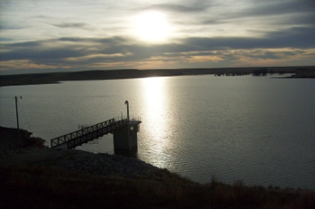
The HorseThief Reservoir is located next to state highway K156, eight miles west of Jetmore in Hodgeman County, Kansas.
Construction on the 450 acre reservoir began in 2008, and the dam was completed in September 2009. The reservoir was constructed for flood retention and provides recreational activities. The project was funded through the Pawnee Watershed District, state costshare through the State Conservation Commission, and a special sales tax approved in 2005 by voters in Hodgeman, Ford, Finney and Gray counties.
Operations Plan
An operations plan is required under the terms of the approval of application and permit to proceed issued for the project by the chief engineer of the Division of Water Resources. The operations plan ensures that downstream water users are not impaired by the dam’s operation. A revised operations plan was submitted to address problems with the upstream gage when the lake level is above a 2,420.4 feet and the gage is inundated.
Links
History
Pawnee Watershed Joint District No. 81 filed its water right application for the HorseThief Reservoir on September 17, 1985. The application called for 3,826 acre-feet of water from Buckner Creek’s natural flows for a recreational lake that would also benefit groundwater recharge and help control flood events.
From 1985 through 1995, landowners and water right holders in the area were notified of the planned dam. There were several public meetings while hydraulic feasibility studies were conducted, evaluated and revised.
The Pawnee Watershed District originally contracted with HDR Engineering, Inc. to provide a feasibility study on water availability and downstream impacts. The study showed adequate water to fill the reservoir with normal, historical rainfall events. The feasibility study by HDR led to many questions from concerned parties about the effects a dam on Buckner Creek could pose to downstream water users. In response, the watershed district hired Reh and Associates Inc. to provide a data-backed report to answer these questions. The Reh report also indicated that water was available to fill the reservoir, to satisfy downstream water users and to provide additional benefits.
In March 1995, Division of Water Resources staff and the chief engineer prepared a report based on their review of the two studies and additional data regarding water availability for the dam. The chief engineer at that time, David Pope, then asked the watershed district to provide a comprehensive reservoir operations plan that addressed any remaining concerns downstream users had about release rates and timing. On August 3, 1995, after collaborating with interested parties, the watershed district sent its operations plan to the chief engineer for approval.
On November 17, 1995, the application was approved. In 1996 the preliminary design report for the dam was submitted. From 1996 through 2008, the dam design was reviewed and finalized and the watershed district secured funding to construct the multipurpose reservoir. The State Conservation Commission allocated funds for the project through its Multipurpose Small Lakes Program. Local funds generated from an increased sales tax in several neighboring counties helped round out construction funding. The operations plan was revised and resubmitted in 2003 to address the need for a new water right file for a groundwater well to service the campground facilities. The groundwater used from this well will be offset by a scheduled increased release of surface water in July.
Construction began early in 2008. The dam was completed and received its final inspection on September 8, 2009. On that day, the dam officially closed for the first time to capture most of a major runoff event while still releasing the required flow to downstream water users. The reservoir filled to half-capacity in the spring of 2010, reached capacity on July 1, 2016 and has stayed near full since that time. In April 2010, the operations plan was again revised to correct a few minor issues tied to the upstream gage. It had been determined that the gage would not accurately measure inflow when the reservoir level was high, so changes were made to the operations plan to allow for the condition while still requiring releases that provide adequate downstream flow. In December 2013, the operations plan was revised a third time to allow a determination of downstream flow conditions without use of the Burdett stream gage. The Burdett stream gage was taken off line by USGS in 2013 due to a funding reduction from the
Nation Streamflow Information Program (NSIP).
Photo Gallery
|
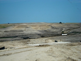
Construction: Looking Southeast from Mainstem of Dam
|
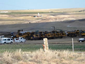
Construction: Southeast of Reservoir Looking Northwest
|
|
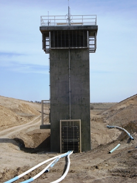
Construction: Inflow Tower Looking West
|
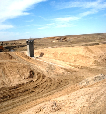
Construction: Top of Dam Looking West
|
|
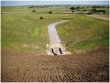
View from Dam: Looking East
|
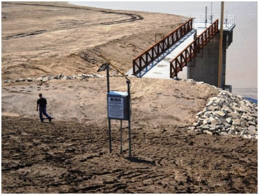
View from Dam: Looking West
|
|
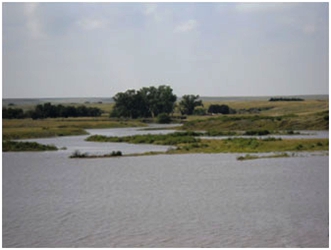
View from Tower: Looking West
|
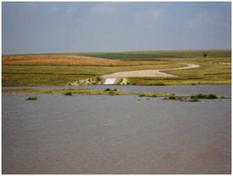
View from Tower: Looking Northwest
|
|
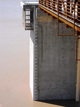
Lake Depth Gage on Tower
|
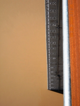
Lake Depth Gage on Tower (Closeup View)
|
|
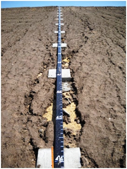
Staff Gage on Dam Slope
|
 |
|
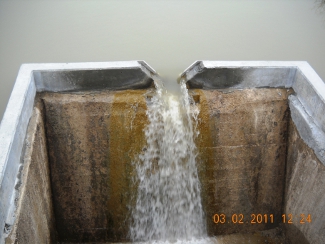
V-Notch Weir
|
 |
| |
|